
Complete Naama Bay Maps and Location Guide 2025
Na'ama Bay is the bay situated between the Sharm el-Sheikh Old Town to the south and the Airport and Sharks Bay to the North. On some maps it is listed as Ne'Ma Bay, which is an alternative translation of the true Arabic name خليج نعمة , phonetically pronounced he-leege na-ma
Part of the confusion comes from the fact that Sharm el-Sheikh is both the name of the town and of the region. The label in you see in Google maps refers to the centre of the region, which is just around Na'ama Bay. While the town itself is to the south and which we call the Sharm el-Sheikh Old Town.
While to the north the other bays such as Shark Bay and Nabq Bay are separate resort areas, but official in the Sharm el-Sheikh district and hence it is on their official address.
Detailed Resort Area Mapping
Northern Section Resort Mapping: The northern end of Naama Bay features the newest resort developments, including luxury properties like the Four Seasons Resort Sharm El Sheikh and the Ritz-Carlton, along with family-oriented resorts such as the Hyatt Regency. This area benefits from slightly more secluded positioning while maintaining easy access to the central promenade and diving facilities. The northern section also provides convenient access to Sharks Bay and the airport, making it ideal for travelers seeking luxury accommodations with minimal transfer time.
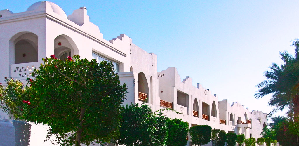
Central Promenade District: The heart of Naama Bay centers around the famous pedestrian promenade, a lively walking area that stretches along the beachfront and serves as the social and commercial hub of the resort area. Here visitors find the highest concentration of restaurants, bars, diving centers, and shopping opportunities, all within easy walking distance of most hotel accommodations. The central area includes the old market section, offering traditional Egyptian goods and authentic dining experiences alongside international cuisine options.
Southern Resort Zone: The southern section of Naama Bay transitions toward the Sharm El Sheikh Old Town area, featuring a mix of established resorts, budget-friendly accommodations, and local services. This area provides excellent value for money while maintaining access to all Naama Bay amenities, plus offering easier connections to Old Town markets, local restaurants, and authentic Egyptian cultural experiences. The southern zone also serves as the starting point for many desert safari and cultural excursion tours.
Diving Site Geography and Marine Mapping
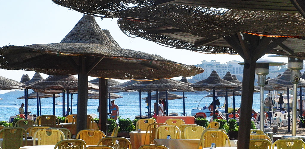
House Reef Accessibility: One of Naama Bay's greatest advantages lies in its immediate access to pristine coral reefs directly from the beach, eliminating the need for boat transfers for many diving experiences. The house reefs begin in shallow water just steps from the shore, gradually deepening to reveal spectacular coral gardens, dramatic drop-offs, and abundant marine life. These reefs connect to the broader Red Sea ecosystem, providing encounters with sea turtles, reef sharks, and hundreds of tropical fish species.
Regional Dive Site Connections: From Naama Bay's central location, divers enjoy easy access to the Red Sea's most celebrated dive sites. Ras Mohammed National Park, located 20 kilometers to the south, offers world-famous sites like Shark Reef and Yolanda Reef. The SS Thistlegorm wreck lies 30 kilometers to the northwest, accessible via day boat trips. Northward, the famous Blue Hole in Dahab is reachable within 90 minutes by road, while the Straits of Tiran provide spectacular drift diving opportunities just 45 minutes by boat.
Cultural and Historical Geographic Context
Bedouin Heritage Geography: The Sinai Peninsula's interior, easily accessible from Naama Bay, preserves thousands of years of Bedouin culture and desert traditions. The mountainous interior includes significant biblical sites such as Mount Sinai (Jabal Musa) and St. Catherine's Monastery, both UNESCO World Heritage sites located approximately 2.5 hours by road from Naama Bay. These cultural destinations provide essential context for understanding the region's deep historical significance beyond its modern resort development.
Strategic Historical Importance: Naama Bay's location has provided strategic importance throughout history, serving as a natural harbor and resting point for traders and travelers moving between Africa, Asia, and Europe. The surrounding Sinai Peninsula features in biblical narratives, Islamic history, and ancient Egyptian records, while the Red Sea itself has served as a crucial trade route for millennia. Understanding this historical context enriches the modern visitor experience and provides appreciation for the cultural depth underlying the contemporary resort atmosphere.
Modern Development and Future Planning: The Egyptian government's Vision 2030 tourism development plan specifically identifies the Sharm El Sheikh region, including Naama Bay, as a key focus area for sustainable tourism growth. Infrastructure improvements include airport expansion, renewable energy projects, and enhanced marine conservation programs designed to preserve the coral reef systems that make the region world-famous. These developments ensure that Naama Bay will continue serving as Egypt's premier Red Sea destination while maintaining the environmental quality that attracts millions of visitors annually.